Emergency Incidents & Warnings in Queensland
Explore emergency incidents, warnings and road disruptions in Queensland. View mapped reports, agency update times and links to official information.
Up to 250 matching reports, ordered by warning level, report type and agency update time. Zoom or pan to explore an area. Unmapped reports stay in the list. Current Emergency Warning and Watch and Act records remain visible regardless of the time filter.
Useful links
Official guidance for preparation, warning levels and weather updates. Regional resources are labelled below.
Plan and prepare ↗
Explore bushfire preparation and household planning resources.
NSW Rural Fire Service · NSWUnderstand warning levels ↗
Read the agency’s explanation of bushfire alert levels.
Bureau of Meteorology · AustraliaWeather warnings and alerts ↗
Check official weather warnings for your region.
NSW State Emergency Service · NSWPrepare for floods and storms ↗
Find household planning resources for floods, storms and tsunamis.
VicEmergency · VictoriaPrepare and get ready ↗
Explore emergency preparation information for Victoria.
Emergency Incidents & Warnings in Queensland
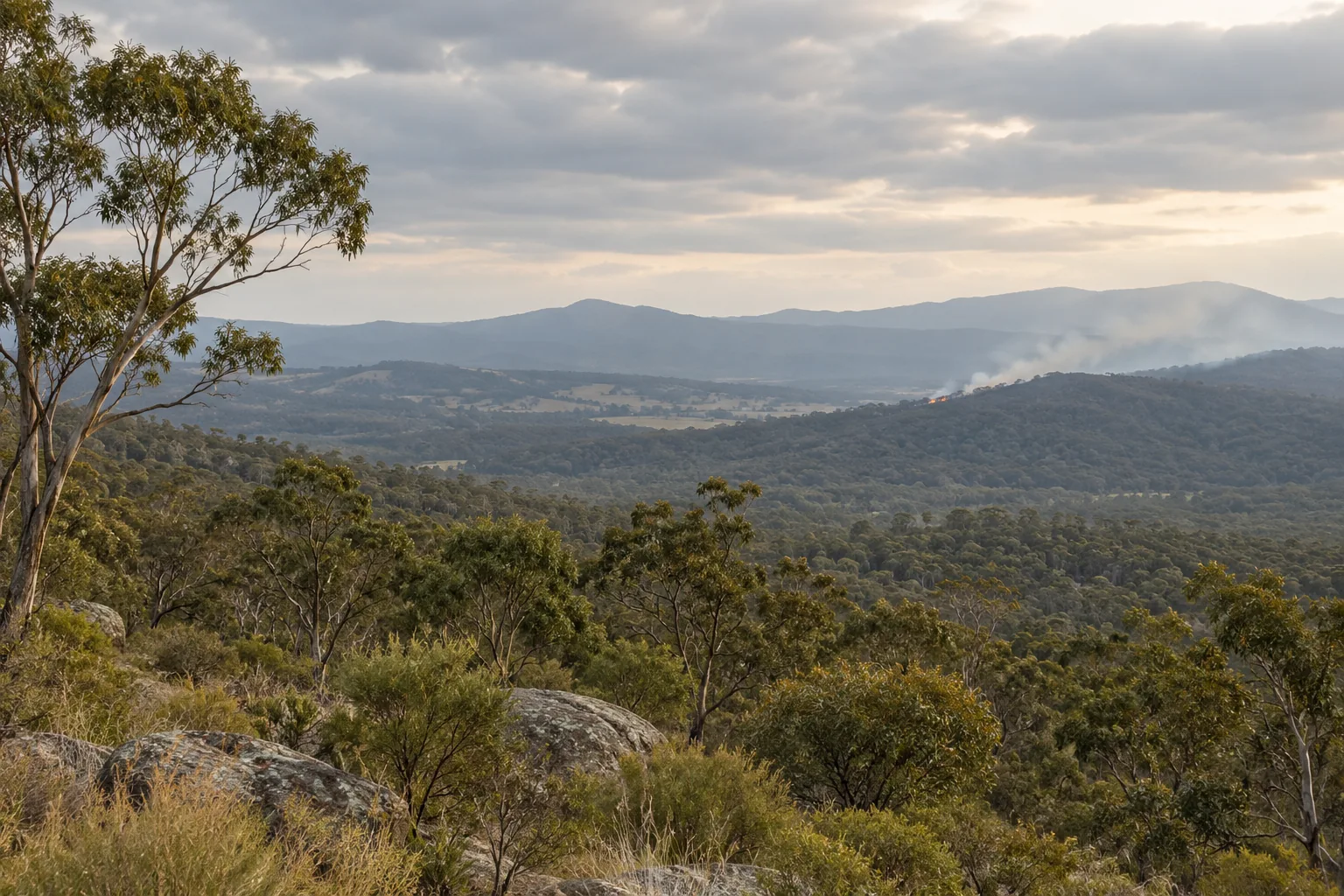
This page brings together emergency incidents, warnings and road disruptions in Queensland. It lets you compare the places named by publishers, the latest supplied update times and the kind of information each agency has issued before opening an individual report.
There are 21 available reports matching this selection. Expired and cancelled records, and entries missing from the latest source snapshots, are excluded from this overview.
What the available reports show
The available information comprises 20 incident reports, 1 warning reports. These are report counts, rather than a count of distinct emergencies: different publishers can describe the same event.
The map and list currently show 21 matching reports. The selection is limited to 250 reports, ordered by warning level, report type and agency update time. The overview above considers all available matching reports, without viewport or time restrictions.
Places named in these reports
A named reporting area is not available consistently across this selection. Open a report to see the locality or geometry actually supplied by its publisher.
Recently updated reports in Queensland
Ordered by agency-supplied update time. Publication times describe the reports, rather than when an incident began or ended.
Understanding emergency incidents & warnings in Queensland
The overview can combine different kinds of agency reports. An incident, a warning, a forecast and a scheduled restriction each answer a different question; use the record-type and warning-level filters to focus the view.
The locality, status and update time on an individual report come from its publisher. A collection timestamp records when OzIncidents captured information and is not presented as the time the incident began.
Open the recent reports to read their published detail and any observed changes. Missing records and empty selections do not establish that an area is unaffected; coverage depends on the information available from the participating publishers.
Questions about these reports
What does this QLD emergency incidents & warnings page include?
There are 21 available reports matching this selection. Expired and cancelled records, and entries missing from the latest source snapshots, are excluded from this overview. The available information comprises 20 incident reports, 1 warning reports. These are report counts, rather than a count of distinct emergencies: different publishers can describe the same event.
Why can the map show fewer reports than the overview?
The map and list currently show 21 matching reports. The selection is limited to 250 reports, ordered by warning level, report type and agency update time. The overview above considers all available matching reports, without viewport or time restrictions. Reports without usable geometry can appear in the list without a marker.
How can I compare updates in this area?
Open an individual report to read the agency's description, reported status and publication time. Where saved snapshots contain meaningful changes, its change summary describes what differed and when OzIncidents observed it. Separate nearby reports are linked for geographic context and are not confirmed to be the same event.
Where should I read the full agency information?
Each incident page links to the issuing agency. Publisher text and any separately supplied instructions are shown with the report. The page refreshes from available records every 30 seconds; agency publication schedules and collection delays can differ.
Explore the latest available reports.
Choose a state, narrow the filters and open an incident to learn more.